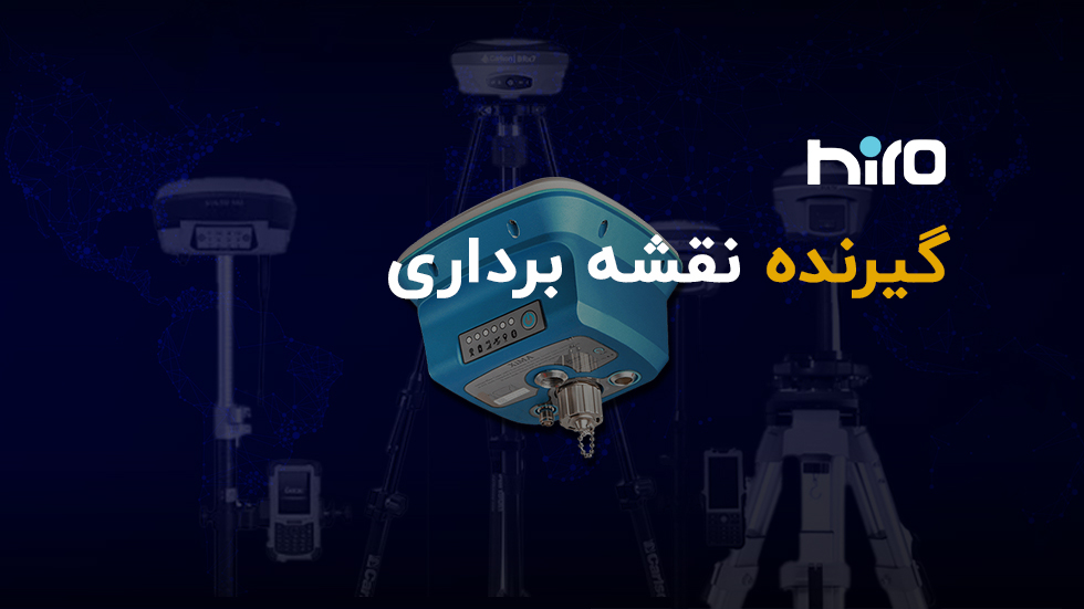
گیرنده نقشه برداری
گیرنده نقشه برداری جی ان اس اس با دریافت سیگنال های ماهواره های GPS، GLONASS، BeiDue و Galileo عمل می کند.
گیرنده نقشه برداری ادامۀ مطلب »
really-simple-ssl domain was triggered too early. This is usually an indicator for some code in the plugin or theme running too early. Translations should be loaded at the init action or later. Please see Debugging in WordPress for more information. (This message was added in version 6.7.0.) in /home/hirognss/public_html/wp-includes/functions.php on line 6131rocket domain was triggered too early. This is usually an indicator for some code in the plugin or theme running too early. Translations should be loaded at the init action or later. Please see Debugging in WordPress for more information. (This message was added in version 6.7.0.) in /home/hirognss/public_html/wp-includes/functions.php on line 6131گیرنده نقشه برداری جی ان اس اس با دریافت سیگنال های ماهواره های GPS، GLONASS، BeiDue و Galileo عمل می کند.
گیرنده نقشه برداری ادامۀ مطلب »
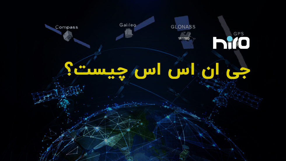
جی ان اس اس(GNSS) سیستم ناوبری جهانی ماهواره مبنا که در کاربری نقشه برداری نقش به سزایی دارد.
جی ان اس اس چیست؟ ادامۀ مطلب »
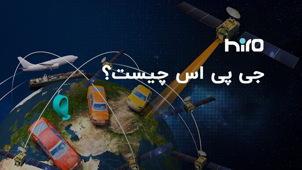
جی پی اس (GPS) سیستم تعیین موقعیت جهانی است که متشکل از سه بخش می باشد. یکی از کاربری های مهم جی پی اس، نقشه برداری است.